水深測量
解説 Definition
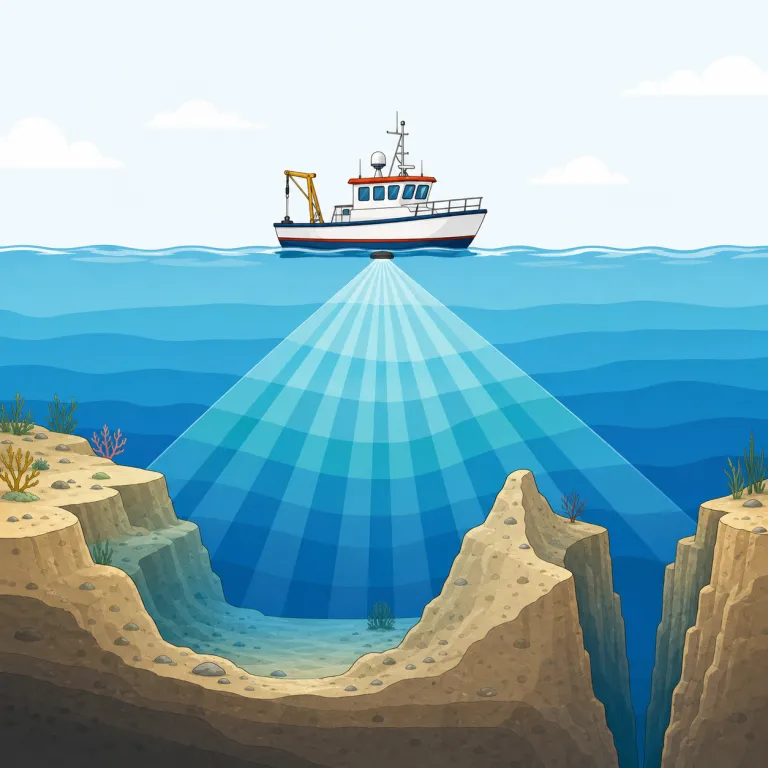
海洋学における深さ測定の科学。海底の地形や深度を調査・記録する方法や装置を用いた測量技術。
Bathymetry is the measurement and study of the depth and shape of the bottom of seas, lakes, and rivers. It is used in oceanography, map-making, and environmental science. It is similar to topography, but for underwater land.
覚え方のコツ Memory Tip
まず `-metry` に反応すると覚えやすいです。geometry, telemetry などと同じで「測ること・測定法」の仲間。そこに bathy- が付いたら、「水の深さを測る分野」だとまとめて押さえると残ります。よく出るのは oceanography, seafloor mapping, bathymetric map の文脈で、海底や湖底の深さを数値化・地図化する場面。topography が地表の起伏なら、bathymetry は水中の地形と深さ、という対比で整理すると混同しにくいです。
The ending `-metry` is the big clue: think of `geometry` or `telemetry`, where the idea is measuring. So if you see `bathy + metry`, remember it as a measuring word related to water depth. It is useful to contrast it with `topography`: land surface above water versus underwater depth and shape.
例文
Bathymetry provides detailed maps of the ocean floor topography.
水深測量は海底地形の詳細な地図を提供します。
Modern bathymetry uses sonar technology to measure water depths accurately.
現代の水深測量はソナー技術を使用して水深を正確に測定します。
Bathymetry measures water depth to map the shape of the seafloor.
水深測量では、水深を測って海底の形状を地図に表します。
bathymetry の類義語・関連語
紛らわしい語
bathymetry の語源・成り立ち Etymology
bathymetry はギリシャ語 bathys「深い」と metron「測るもの」からできた語です。bathy- が「深さ」、-metry が「測定」を表すので、語源どおり「海や湖の深さを測ること」つまり水深測量を意味します。関連語は bathysphere, geometry です。
Bathymetry comes from Greek: bathys meaning "deep" and metron meaning "measure." It was formed in modern scientific language to mean the measuring of depth, especially in seas and lakes. The second part is the same root seen in words like geometry and symmetry.
同じレベルの語彙をもっと
外部辞書で調べる
この英単語をクイズで覚えよう