topography
topography は英検1級レベルの英単語で、「地形」という意味があります。発音記号は /təˈpɒɡɹəfi/ です。
意味一覧 (2件)
地形
解説 Definition
地表の高低差や起伏などの地形的特徴。地域の自然な地形の配置や特徴を研究する学問。
例文
The topography of the mountain region is complex.
山岳地域の地形は複雑だ。
Mapping the topography of the island took months.
島の地形をマッピングするのに数ヶ月かかった。
Understanding local topography is important for construction.
地元の地形を理解することは建設に重要だ。
地形
(意味 2)解説 Definition
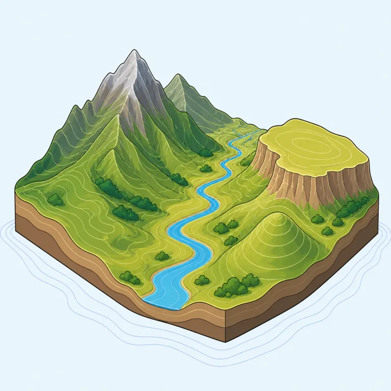
地表面の起伏や高低差、山・谷・平原などの土地の形を指します。また、その地形を詳しく記述・図示することや、その特徴のまとまりを表す場合もあります。地図や地域の説明で、土地の形そのものに注目する語です。
Topography is the shape and arrangement of the natural and physical features of an area, such as hills, valleys, and rivers. It is commonly used in geography, map-making, and earth science. The word focuses on the surface form of the land.
覚え方のコツ Memory Tip
geography を知っているなら、topography は「地理の中でも、地表の凸凹や起伏にズームした語」と置くと覚えやすい。-graphy は「記述・図化」で共通なので、“地形を記述するもの”という骨格がつかめる。実際も topographic map のように、山・谷・斜面・標高線を読む場面でよく出る。国や地域の広い説明より、土地の形そのものに注目するのが geography との違い。topology とつづりが近いが、こちらは地形の話。
If you know `geography`, think of `topography` as a more zoomed-in word. It focuses on the shape of the land, such as hills, valleys, and slopes. The ending `-graphy` is the same pattern, so the key is to connect `topography` with maps and land surface detail.
例文
The topography of the mountain range made it difficult to traverse.
山脈の地形のため、横断するのは難しかった。
Geographers study the topography of different regions to understand climate patterns.
地理学者は気候パターンを理解するために異なる地域の地形を研究する。
The city's topography includes steep hills and deep valleys.
その都市の地形は急な丘と深い谷を含んでいる。
topography の類義語・関連語
同じレベルの英単語をもっと
英検1級の一覧へ →外部辞書で調べる
この単語を英単語クイズで覚えよう